48 Digital Mapping Tutorials
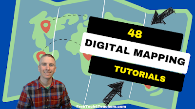
Even though I write a lot about Google Earth and Google Maps, there is more to digital mapping than just using those tools. In fact, there are some great digital mapping tools not made by Google that students can use to create things like historic map overlays, map and timeline combinations, and map-based stories. In […]
Three Ways to Quickly Map Spreadsheet Data
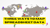
I recently came across an older Towards Data Science article about ten ways to represent data on maps. Reading the article reminded me of something that I’ve tried to share with social studies teachers and students over the years. That thing is that a great data set can tell you a lot. A great map can tell […]
How to Map Spreadsheet Data on Felt
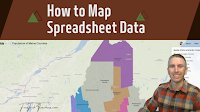
Felt is a multimedia mapping tool that I started using late last year and it has quickly become one of my favorite mapping tools. With Felt you can create everything some simple directions maps to maps that have historic overlays to maps of animal migrations and much more. The latest update to Felt makes it […]
A New Felt Mapping Tool
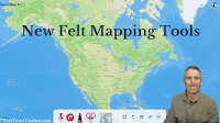
A few days ago I shared a neat map of gray whale migration patterns. That map was created on the Felt mapping platform. Felt was one of my favorite new tools of 2022 and is only getting better at the start of 2023. The most recent update to Felt introduced an easier way to access […]
Gray Whale Migration and More Felt Mapping Ideas

Felt is a multimedia mapping tool that I started using late last year. It has quickly become one of my preferred tools for creating multimedia maps. In fact, at this point I think I like more than Google’s My Maps. The aesthetics of Felt are great and it has a great selection of easy-to-use features. […]
How to Create Map Overlays
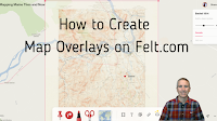
Felt was one of my favorite new tools in 2022. In fact, I liked it so much that I included it in my Best of the Web for 2022. Felt is a free multimedia mapping tool that I think is easier for first-time users to use than Google’s My Maps or ESRI’s mapping tools. Right […]
New Base Map Options on Felt

Felt is a new digital mapping tool that I’ve featured a few times in the last month because I think it is fantastic alternative to Google’s My Maps and the web version of Google Earth for creating custom maps. In fact, I like it so much that I demonstrated it in my Best of the […]
Five Digital Mapping Tools That Aren’t Made by Google

Google Earth and Google’s My Maps are great tools for students to use to create multimedia maps. But Google isn’t the only game in town when it comes to digital map creation tools. In fact, there are some good ones that are freely available to you and your students outside of what Google offers. Here’s […]